Home Monument types Roman road
What is a roman road?
A Roman road is an engineered road built by the Roman army and administration, laid out in long straight sections and usually carried on a raised embankment called an agger, with a ditch on each side. Roads were built from AD 43 to support the conquest and later administration of the province.
- Period
- Roman, from AD 43; most of the main network was complete by about AD 180.
- Also called
- agger, Roman way, street (in road names such as Watling Street)
- Pages on Waystone
- 38 in England and Wales
What a roman road is
Historic England's scheduling texts describe two main forms: a broad agger of several layers of graded material between widely spaced boundary ditches, and a narrower agger of two or three layers with drainage ditches. A typical main road had a carriageway about 5 to 8 metres wide, surfaced with compacted gravel or flint over a foundation of larger stones. Estimates of the total length differ: one Historic England scheduling text gives about 9,500 miles of Roman road built in Britain, while about 2,000 miles of main paved roads is the figure commonly cited for the trunk network. Only a small part survives as earthworks, because many routes lie under modern roads and others have been ploughed out or stripped of their stone. Ivan Margary's Roman Roads in Britain gave the known roads the reference numbers still used today.
How roman roads look on LiDAR
Where it survives, a Roman road shows as a long, straight, low bank (the agger), often with a shallow ditch or a line of quarry pits along each side, changing direction at sighting points, often on high ground. Because the agger may be many metres wide but only a few tens of centimetres high, a local relief model shows it far better than hillshade, which loses it where the road runs parallel to the light. Hedges, parish boundaries and footpaths often follow the line, and following the alignment across the model can bridge gaps between surviving stretches.
See LiDAR visualisations explained for what each method shows.
What can look like one
Turnpike roads, straight enclosure roads of the 18th and 19th centuries, disused railway and tramway embankments, canal towpaths, field banks and pipeline trenches can all form straight linear features. A Roman road usually has a broad, low, cambered agger with side ditches and keeps its alignment regardless of later field boundaries.
Protection
Some well-preserved stretches of Roman road are scheduled monuments, protected in England by the Ancient Monuments and Archaeological Areas Act 1979 and in Wales by the Historic Environment (Wales) Act 2023, but most of the network is not designated.
Examples on the LiDAR
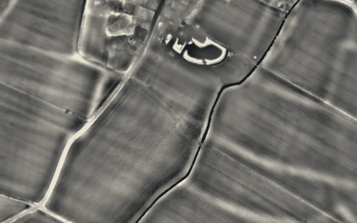 Totternhoe Roman villaBedfordshire
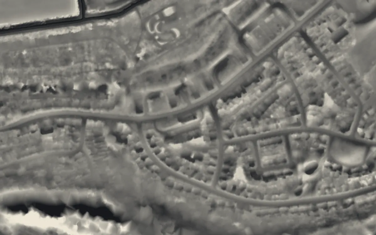 Kings Weston Roman VillaBristol
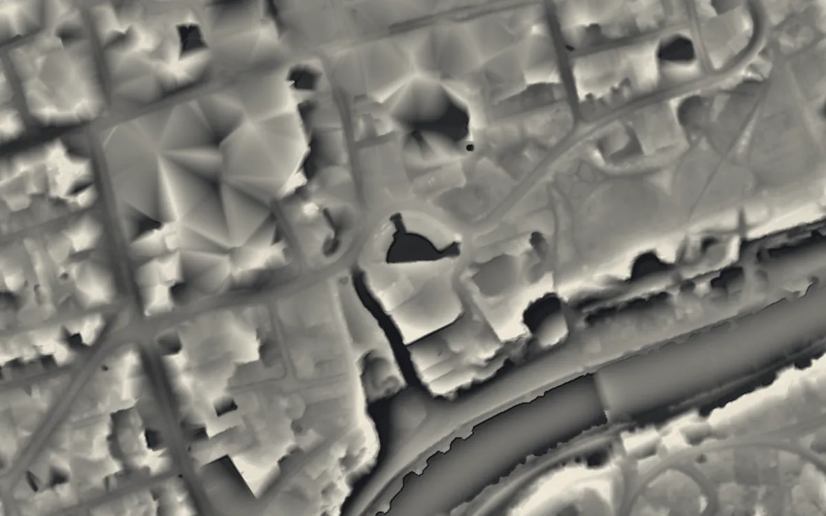 Chester Roman AmphitheatreCheshire
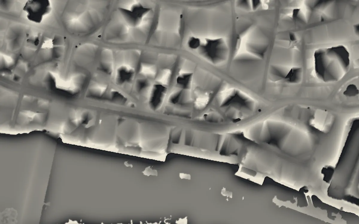 Billingsgate Roman House and BathsCity of London
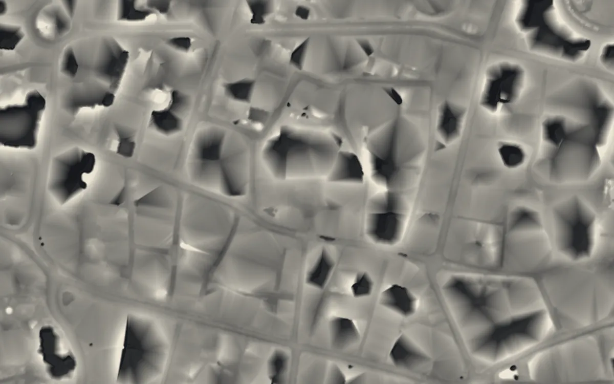 Roman amphitheatre, Guildhall YardCity of London
 Ravenglass Roman Bath HouseCumbria
Where they are
Counties with the most roman roads that have a page here.
- Gloucestershire5 with a page
- Hertfordshire3 with a page
- City of London2 with a page
- East Riding of Yorkshire2 with a page
- Hampshire2 with a page
- Isle of Wight2 with a page
- Lincolnshire2 with a page
- North Yorkshire2 with a page
- Oxfordshire2 with a page
- West Sussex2 with a page
- Bedfordshire1 with a page
- Bristol1 with a page
- Cheshire1 with a page
- Cumbria1 with a page
- Derbyshire1 with a page
- Greater London1 with a page
- Norfolk1 with a page
- Nottinghamshire1 with a page
- Pembrokeshire1 with a page
- Rutland1 with a page
- Shropshire1 with a page
- Somerset1 with a page
- Staffordshire1 with a page
- Wiltshire1 with a page
More examples
- Batham GateDerbyshire
- Romano-British villa at Cockle Pits, near BrantinghamEast Riding of Yorkshire
- Rudston Roman villaEast Riding of Yorkshire
- Chedworth Roman VillaGloucestershire
- Cirencester AmphitheatreGloucestershire
- Great Witcombe Roman VillaGloucestershire
- Spoonley Wood Roman villaGloucestershire
- Woodchester Roman VillaGloucestershire
- Crofton Roman VillaGreater London
- Calleva AtrebatumHampshire
- Rockbourne Roman VillaHampshire
- Gadebridge Park Roman VillaHertfordshire
- Lockleys Roman villaHertfordshire
- Welwyn Roman BathsHertfordshire
- Brading Roman VillaIsle of Wight
- Newport Roman VillaIsle of Wight
- Ancaster Roman townLincolnshire
- Roman villa immediately east of Horkstow HallLincolnshire
- Roman villa at Gayton ThorpeNorfolk
- Bainbridge Roman fort and annexeNorth Yorkshire
- Beadlam Roman villaNorth Yorkshire
- Margidunum Roman StationNottinghamshire
- Alchester Roman TownOxfordshire
- North Leigh Roman VillaOxfordshire
- Castle FlemishPembrokeshire
- Rutland Roman villaRutland
- Viroconium CornoviorumShropshire
- Low Ham Roman VillaSomerset
- LetocetumStaffordshire
- Bignor Roman VillaWest Sussex
Sources
- FISH Thesaurus of Monument Types (Historic England): Road (includes Agger)
- Monument Type Thesaurus (Wales), RCAHMW: Road
- Historic England, National Heritage List entry 1007000: Via Julia Roman road on Durdham Down (reasons for designation)
- Historic England, National Heritage List entry 1006439: Maiden Way Roman road over Hartleyburn Common and Glendue Fell
- Historic England, National Heritage List entry 1018195: Two sections of Roman road on Barrow Hill and Corfe Hills
- Historic England Blog: A Brief Introduction to Ancient Paths and Highways (2015)
- Wikipedia: Roman roads in Britannia (cross-check)
- Relief Visualization Toolbox documentation: Simple local relief model
- Hesse, R. 2010. LiDAR-derived Local Relief Models: a new tool for archaeological prospection. Archaeological Prospection 17, 67-72
Last updated 2026-10-16.