Home LiDAR map England Greater London
LiDAR map of Greater London
Waystone shows the bare-earth LiDAR of Greater London at one metre per pixel, with the 11,020 recorded historic places the heritage records hold here, the Roman roads and the Ordnance Survey six-inch maps of 1843–1913 over the same ground. Free, in a browser.
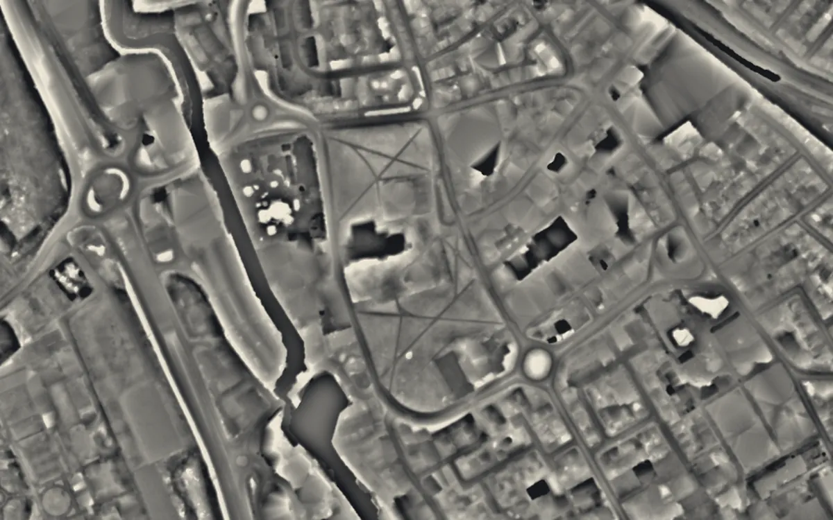
Places on the LiDAR in Greater London
Each page shows the site on the LiDAR with its record, its location and the recorded places around it.
- Barking AbbeyAbbey
- Chiswick HouseScheduled monument
- Clattern BridgeBridge
- Crofton Roman VillaRoman site
- Curtain TheatreScheduled monument
- Down Barns Moated SiteScheduled monument
- Elsyng PalaceScheduled monument
- Eltham PalaceScheduled monument
- Globe TheatreScheduled monument
- Greenwich HospitalScheduled monument
- Hampton Court PalaceScheduled monument
- Jewel TowerScheduled monument
- Kensington PalaceScheduled monument
- Kew PalaceScheduled monument
- King Henry VIII's MoundBarrow
- Lesnes AbbeyAbbey
- Merton PrioryPriory
- Northolt ManorManor house
- Palace of PlacentiaScheduled monument
- Park Crescent West ice wellScheduled monument
- Queen's HouseScheduled monument
- Romano-British site, Wickham Court FarmScheduled monument
- Royal ObservatoryScheduled monument
- Sheen PrioryPriory
- Shrewsbury BarrowBarrow
- St Botolph's Church, RuxleyChapel or church
- Stratford Langthorne AbbeyAbbey
- SulloniacisSettlement
- The RoseScheduled monument
- The TheatreScheduled monument
- Tower of LondonCastle
- Upminster Tithe BarnScheduled monument
- Winchester PalaceScheduled monument
- Windmill BridgeBridge
LiDAR maps of the parishes of Greater London
One page for each of the 33 parishes, with a LiDAR picture and the recorded places inside it.
- Barking and Dagenham87 recorded places
- Barnet444 recorded places
- Bexley147 recorded places
- Brent177 recorded places
- Bromley396 recorded places
- Camden765 recorded places
- Croydon336 recorded places
- Ealing214 recorded places
- Enfield266 recorded places
- Greenwich362 recorded places
- Hackney320 recorded places
- Hammersmith and Fulham286 recorded places
- Haringey217 recorded places
- Harrow175 recorded places
- Havering172 recorded places
- Hillingdon346 recorded places
- Hounslow298 recorded places
- Islington306 recorded places
- Kensington and Chelsea582 recorded places
- Kingston upon Thames158 recorded places
- Lambeth386 recorded places
- Lewisham265 recorded places
- Merton217 recorded places
- Newham341 recorded places
- Queen's Park4 recorded places
- Redbridge157 recorded places
- Richmond upon Thames499 recorded places
- Southwark496 recorded places
- Sutton166 recorded places
- Tower Hamlets570 recorded places
- Waltham Forest176 recorded places
- Wandsworth290 recorded places
- Westminster1,247 recorded places
About the LiDAR
The terrain model is made from an airborne laser survey with vegetation and buildings removed, so earthworks show as height: hillfort ramparts, barrows, Roman road banks, hollow ways and ridge and furrow. In the app the picture is computed as you change the settings, with a moveable sun, a local relief model, multidirectional hillshading and the VAT composite. See how to read a LiDAR map and what archaeology looks like on LiDAR.
Sources
- LiDAR: Environment Agency, 1 m composite DTM, Open Government Licence.
- Recorded places: the national heritage records (Historic England, Cadw, Coflein and others) as held by Waystone.
Last updated 2026-10-16.