Home Maps by type Motte and bailey castles on LiDAR
Motte and bailey castles on LiDAR
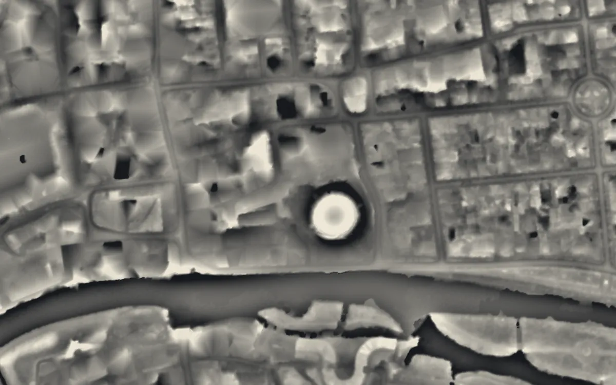
Earth and timber castles of the eleventh and twelfth centuries: a mound (the motte) and one or more embanked enclosures (baileys). Most survive only as earthworks, which is what LiDAR records. This list holds the 171 that are scheduled monuments with an article on Wikipedia; the map in the app shows every recorded site.
Bedfordshire
- Bedford Castle
- Cainhoe Castle
- Eastcotts Castle
- Flitwick Castle
- Old Warden Castle
- Renhold Castle
- Thurleigh Castle
- Toddington Castle
- Totternhoe Castle
- Yielden Castle
Berkshire
Blaenau Gwent
Buckinghamshire
- Bolbec Castle
- Castlethorpe Castle
- Cymbeline's Castle
- Hawridge Court ringwork
- Lavendon Castle
- Weston Turville Castle
Cambridgeshire
Cardiff
Carmarthenshire
Ceredigion
Cheshire
Cornwall
County Durham
Cumbria
Denbighshire
Derbyshire
Devon
Dorset
East Riding of Yorkshire
Essex
Flintshire
Gloucestershire
Greater Manchester
Hampshire
Herefordshire
Hertfordshire
Kent
Leicestershire
Lincolnshire
Merseyside
Monmouthshire
Newport
Norfolk
North Yorkshire
Northamptonshire
Northumberland
Nottinghamshire
Oxfordshire
- Ascot d'Oilly Castle
- Ascott Earl Castle
- Chipping Norton Castle
- Deddington Castle
- Leafield Barrow: a motte castle 220m north west of St Michael and All Angels Church
- South Moreton Castle
- Swerford Castle
Pembrokeshire
Powys
- Barland Motte
- Bleddfa Castle
- Boughrood Motte
- Carreghofa Castle
- Castle Nimble
- Colwyn Castle
- Crug Eryr Castle
- Domen Fawr
- Hay Tump Castle
- Hen Domen
- Llanthomas Castle Mound
- Nantcribba Castle
- Painscastle Castle
- Sycharth Castle
- Tomen Bedd Ugre
- Tomen yr Allt
- Tredustan Motte
Rutland
Shropshire
- Bicton Castle
- Brogyntyn Castle
- Bryn Amlwg Castle
- Castle Bank
- Castle Toot
- Clun Castle
- Ellesmere Castle
- Holdgate Castle
- Knockin Castle
- Oswestry Castle
- Ruyton Castle
Somerset
- Burrow Mump
- Cary Castle
- Castle Neroche
- Cockroad Wood Castle
- Culverhay Castle
- Down End Castle
- Dunster Castle
- Fenny Castle
- Hales Castle
- Montacute Castle
- Richmont Castle
- Stowey Castle
Staffordshire
Suffolk
Swansea
Warwickshire
West Midlands
West Sussex
West Yorkshire
Wiltshire
Worcestershire
Sources
- LiDAR: Environment Agency; Natural Resources Wales and Welsh Government. Open Government Licence.
- Selection and descriptions: Wikidata (CC0). Records: Historic England, Cadw.
Last updated 2026-10-16.