Home Maps by type Deserted medieval villages on LiDAR
Deserted medieval villages on LiDAR
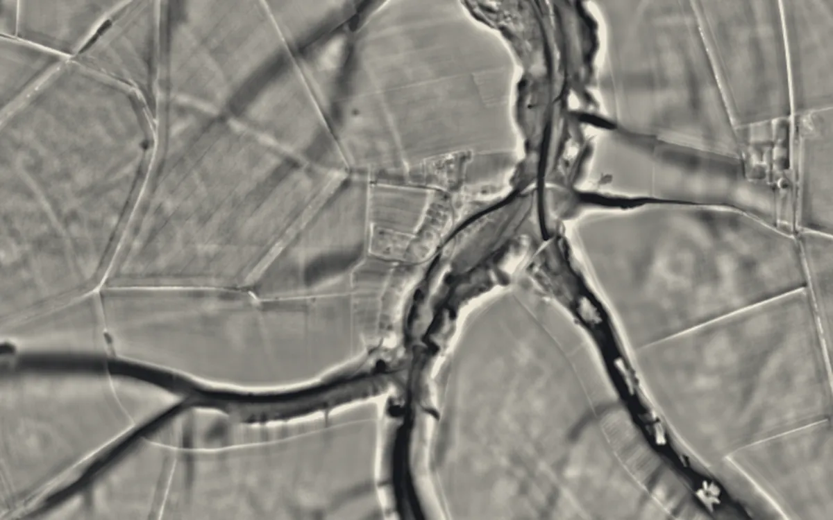
Villages abandoned in the medieval and post-medieval periods, surviving as hollow ways, house platforms and plot boundaries, usually among ridge and furrow. This list holds the 11 that are scheduled monuments with an article on Wikipedia; the map in the app shows every recorded site.
Derbyshire
Dorset
East Sussex
Hampshire
North Yorkshire
Northamptonshire
Nottinghamshire
Oxfordshire
Shropshire
Sources
- LiDAR: Environment Agency; Natural Resources Wales and Welsh Government. Open Government Licence.
- Selection and descriptions: Wikidata (CC0). Records: Historic England, Cadw.
Last updated 2026-10-16.