Home Maps by type Barrows and cairns on LiDAR
Barrows and cairns on LiDAR
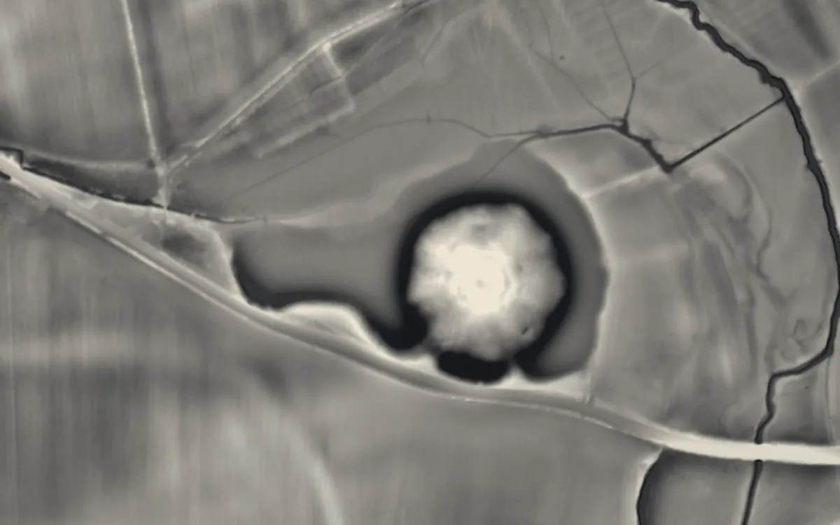
Prehistoric burial mounds and other great mounds: Neolithic long barrows and chambered tombs, Bronze Age round barrows and cairns. This list holds the 85 that are scheduled monuments with an article on Wikipedia; the map in the app shows every recorded site.
Cambridgeshire
Ceredigion
Cheshire
Cornwall
- Ballowall Barrow
- Giant's Quoit
- Lanyon Quoit
- Lesquite Quoit
- Mulfra Quoit
- Rillaton Barrow
- Sperris Quoit
- Two bowl barrows, one 220m east of Lower Longbeak and the other 320m east of Higher Longbeak
- West Lanyon Quoit
Denbighshire
Derbyshire
Dorset
- Clandon Barrow
- Group of round barrows on Oakley Down
- Hell Stone
- Long barrows SE of Thickthorn Farm
- The Five Marys round barrow cemetery
- Wor Barrow and two bowl barrows on Handley Down
East Riding of Yorkshire
Gloucestershire
- Belas Knap
- Hazleton long barrows, north and south
- Notgrove Long Barrow
- Nympsfield Long Barrow
- Uley Long Barrow
- Windmill Tump
Greater London
Greater Manchester
Gwynedd
Hampshire
Herefordshire
Isle of Anglesey
- Barclodiad y Gawres
- Bodowyr Burial Chamber
- Din Dryfol Chambered Tomb
- Henblas Burial Chamber
- Llugwy Chambered Tomb
- Pant-y-Saer
- Presaddfed Chambered Tomb
- Tŷ Newydd Chambered Tomb
Isle of Wight
Kent
- Addington Long Barrow
- Chestnuts long barrow
- Coldrum Long Barrow
- Countless Stones
- Jacket's Field Long Barrow
- Julliberrie's Grave
- Kit's Coty House
- Shrub's Wood oval barrow
Lancashire
Neath Port Talbot
Norfolk
North Yorkshire
Oxfordshire
Pembrokeshire
Somerset
Staffordshire
Swansea
Vale of Glamorgan
West Midlands
West Sussex
- Devil's Jumps
- Prehistoric flint mine and part of a round barrow cemetery at Blackpatch, 400m north east of Myrtle Grove Farm
Wiltshire
- Adam's Grave
- Long barrow 500m north of Lugbury Farm
- Long barrow on Horton Down
- Silbury Hill
- South Lodge camp Bronze Age enclosure with associated field system and round barrow cemetery, 350m east of Rushmore Farm
- South Street barrow
- The Devil's Den
- West Kennet Long Barrow
- White Barrow
Sources
- LiDAR: Environment Agency; Natural Resources Wales and Welsh Government. Open Government Licence.
- Selection and descriptions: Wikidata (CC0). Records: Historic England, Cadw.
Last updated 2026-10-16.