Home Maps by type Abbeys and priories on LiDAR
Abbeys and priories on LiDAR
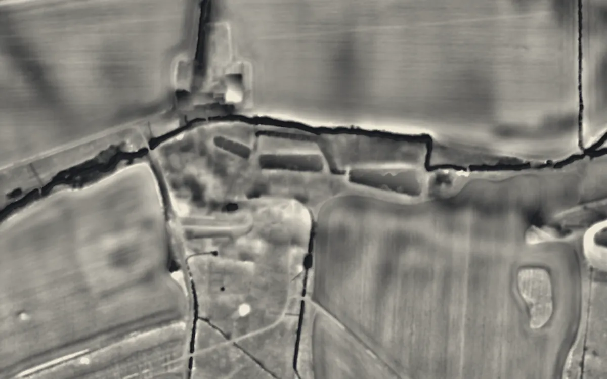
Medieval monasteries. Around the standing ruins, LiDAR shows precinct banks, fishponds, mill leats and the footings of buildings that have gone. This list holds the 239 that are scheduled monuments with an article on Wikipedia; the map in the app shows every recorded site.
Bedfordshire
Berkshire
Buckinghamshire
Cambridgeshire
- Denny Abbey
- Ramsey Abbey
- Sawtry Abbey
- Shingay Preceptory
- Swaffham Bulbeck Priory
- Swavesey Priory
- Waterbeach Abbey
Carmarthenshire
Ceredigion
Cheshire
Conwy
Cornwall
County Durham
Cumbria
Denbighshire
Derbyshire
Devon
- Buckland Abbey
- Canonsleigh Abbey
- Cornworthy Priory
- Frithelstock Priory
- Newenham Abbey
- Plympton Priory
- Polsloe Priory
- St Nicholas Priory
- Tavistock Abbey
- Torre Abbey
- Totnes Priory
Dorset
East Riding of Yorkshire
East Sussex
Essex
- Bicknacre Priory
- Coggeshall Abbey
- Colchester Abbey
- Colne Priory, Earls Colne
- Hatfield Broad Oak Priory
- Hatfield Peverel Priory
- Latton Priory
- Prittlewell Priory
- St. Botolph's Priory
- Thoby Priory
- Tilty Abbey
Flintshire
Gloucestershire
- Blackfriars
- Lechlade Priory
- Leonard Stanley Priory
- Llanthony Secunda
- St Oswald's Priory, Gloucester
- Winchcombe Abbey
Greater London
Gwynedd
Hampshire
Herefordshire
Hertfordshire
Kent
- Bilsington Priory
- Boxley Abbey
- Dover Priory
- St Augustine's Abbey
- St John's Priory, Including The Ruins Of The Priory
Lancashire
Leicestershire
Lincolnshire
- Bardney Abbey
- Bullington Priory
- Catley Priory
- Crowland Abbey
- Hagnaby Abbey
- Haverholme Priory
- Humberston Abbey
- Kirkstead Abbey
- Louth Park Abbey
- Markby Priory
- Minting Priory
- Revesby Abbey
- Sempringham Priory
- St Leonard's Priory, Stamford
- Stixwould Priory
- Swineshead Abbey
- Thornholme Priory
- Thornton Abbey
Merseyside
Monmouthshire
Neath Port Talbot
Norfolk
- Binham Priory
- Bromholm Priory
- Castle Acre Priory
- Coxford Priory
- Creake Abbey
- Hickling Priory
- Holy Sepulchre Priory, Thetford
- Langley Abbey
- Marham Abbey
- Pentney Priory
- St Benet's Abbey
- St Olaves Priory
- St. Leonard's Priory, Norwich
- Thetford Priory
- Walsingham Friary
- Walsingham Priory
- Wendling Abbey
- Weybourne Priory
- Wymondham Abbey
North Yorkshire
- Bolton Priory
- Byland Abbey
- Ellerton Priory
- Fountains Abbey
- Jervaulx Abbey
- Kirkham Priory
- Marrick Priory
- Mount Grace Priory
- Rievaulx Abbey
- St Mary's Abbey, York
- St. Martin's Priory, Richmond
- Whitby Abbey
- Yedingham Priory
Northumberland
Nottinghamshire
Oxfordshire
Pembrokeshire
Powys
Shropshire
Somerset
- Barlynch Priory
- Cleeve Abbey
- Glastonbury Abbey
- Hinton Priory
- Montacute Priory
- Muchelney Abbey
- Witham Charterhouse
- Woodspring Priory
South Yorkshire
Staffordshire
Suffolk
- Blythburgh Priory
- Campsey Priory
- Clare Priory
- Eye Priory
- Hoxne Priory
- Kersey Priory
- Letheringham Priory
- Mendham Priory
- Sibton Abbey
- Walton Priory
Surrey
Tyne & Wear
Vale of Glamorgan
Warwickshire
- Alcester Abbey
- Maxstoke Priory
- Nuneaton Priory
- Pinley Priory
- Polesworth Abbey
- Thelsford Priory
- Wolston Priory
West Midlands
West Sussex
West Yorkshire
Wiltshire
Worcestershire
Sources
- LiDAR: Environment Agency; Natural Resources Wales and Welsh Government. Open Government Licence.
- Selection and descriptions: Wikidata (CC0). Records: Historic England, Cadw.
Last updated 2026-10-16.