Home LiDAR map Wales Denbighshire
LiDAR map of Denbighshire
Waystone shows the bare-earth LiDAR of Denbighshire at one metre per pixel, with the 2,082 recorded historic places the heritage records hold here, the Roman roads and the Ordnance Survey six-inch maps of 1843–1913 over the same ground. Free, in a browser.
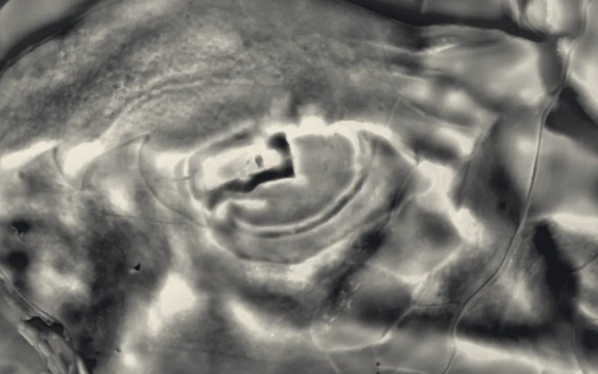
Places on the LiDAR in Denbighshire
Each page shows the site on the LiDAR with its record, its location and the recorded places around it.
- All Saints' Church, LlangarChapel or church
- Bedd-y-Cawr HillfortHillfort
- Bontnewydd Palaeolithic siteScheduled monument
- Caer DrewynHillfort
- Castell Dinas BrânCastle
- Cefn CavesScheduled monument
- Denbigh CastleCastle
- Denbigh FriaryScheduled monument
- Eliseg's PillarBarrow
- Foxhall NewyddScheduled monument
- Leicester's Church (remains)Chapel or church
- Llangollen BridgeBridge
- Maen HuailScheduled monument
- Moel HiraddugHillfort
- Moel Tŷ Uchaf stone circleStone circle
- Moel y GaerHillfort
- Moel y Gaer, BodfariHillfort
- Moel y Gaer, LlantysilioHillfort
- Prestatyn CastleMotte and bailey
- Rhuddlan CastleCastle
- Ruthin CastleCastle
- St Hilary's ChapelChapel or church
- Tomen y RhodwyddMotte and bailey
- Twtil, Castle MotteMotte and bailey
- Valle Crucis AbbeyAbbey
LiDAR maps of the communities of Denbighshire
One page for each of the 39 communities, with a LiDAR picture and the recorded places inside it.
- Aberwheeler21 recorded places
- Betws Gwerfil Goch16 recorded places
- Bodelwyddan39 recorded places
- Bodfari18 recorded places
- Bryneglwys22 recorded places
- Cefnmeiriadog22 recorded places
- Clocaenog24 recorded places
- Corwen144 recorded places
- Cwm37 recorded places
- Cyffylliog22 recorded places
- Cynwyd82 recorded places
- Denbigh113 recorded places
- Derwen20 recorded places
- Dyserth37 recorded places
- Efenechtyd20 recorded places
- Gwyddelwern17 recorded places
- Henllan20 recorded places
- Llanarmon-yn-Ial40 recorded places
- Llanbedr Dyffryn Clwyd56 recorded places
- Llandegla49 recorded places
- Llandrillo354 recorded places
- Llandyrnog39 recorded places
- Llanelidan29 recorded places
- Llanfair Dyffryn Clwyd51 recorded places
- Llanferres28 recorded places
- Llangollen129 recorded places
- Llangynhafal37 recorded places
- Llanrhaeadr-yng-Nghinmeirch45 recorded places
- Llantysilio105 recorded places
- Llanynys30 recorded places
- Nantglyn30 recorded places
- Prestatyn59 recorded places
- Rhuddlan35 recorded places
- Rhyl73 recorded places
- Ruthin79 recorded places
- St. Asaph32 recorded places
- Trefnant38 recorded places
- Tremeirchion48 recorded places
- Waen11 recorded places
About the LiDAR
The terrain model is made from an airborne laser survey with vegetation and buildings removed, so earthworks show as height: hillfort ramparts, barrows, Roman road banks, hollow ways and ridge and furrow. In the app the picture is computed as you change the settings, with a moveable sun, a local relief model, multidirectional hillshading and the VAT composite. See how to read a LiDAR map and what archaeology looks like on LiDAR.
Sources
- LiDAR: Natural Resources Wales and Welsh Government, 1 m DTM, Open Government Licence.
- Recorded places: the national heritage records (Historic England, Cadw, Coflein and others) as held by Waystone.
Last updated 2026-10-16.